


La Folletière Abenon

werth
User
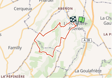

Length
11.7 km

Max alt
203 m

Uphill gradient
188 m
Km-Effort
14.2 km

Min alt
133 m

Downhill gradient
187 m
Boucle
Yes
Creation date :
2020-09-29 07:17:55.093
Updated on :
2020-09-29 10:27:30.583
3h08
Difficulty : Easy

FREE GPS app for hiking
 SityTrail
IGN / Geographical institutes
SityTrail Plus
The world is yours!
About
Trail Walking of 11.7 km to be discovered at Normandy, Calvados, La Folletière-Abenon. This trail is proposed by werth.
Positioning
Country:
France
Region :
Normandy
Department/Province :
Calvados
Municipality :
La Folletière-Abenon
Location:
Unknown
Start:(Dec)
Start:(UTM)
311538 ; 5428640 (31U) N.
Comments